Strategic roadmap & Program design
Bridging the Technical Gap
Technology readiness • Auditing • Feasibility • Program Architecture • Research‑to‑operations • Technology Transfer • Digital Maturity • Institutional Trust.
We help organizations navigate emerging sensing technologies, design scalable programs, and make confident investment decisions. Our work blends scientific rigor with operational pragmatism, ensuring teams adopt the right tools at the right time — with clear ROI and reduced risk.
- Responsive Remote Sensing: A 12‑year program auditing and standardizing remote sensing applications across Canada. Read the story →
- Independent Audit: Providing unbiased validation of third-party spatial data investments or technology readiness.
- Program Architecture for Monitoring Systems: Designing scalable sensing programs across platforms, regions, and operational needs.
Forest Intelligence & Early Intervention
Precision Insight for Changing Landscapes
Precision forestry • Stem Characterization • Value-Based Supply Chains • Species-Specific Inventory • Forest health • Silviculture • Regeneration • Early intervention.
We integrate imaging, 4D LiDAR, AI, and ecological insight to understand forest structure, health, and growth dynamics. Our work supports early intervention, precision silviculture, and long‑term resilience planning — helping teams act before problems escalate.
- STEMS (AI-Driven WebApps): An RGB‑based AI workflow delivering tree‑level inventory with 75–90% accuracy, reducing costs by 40–60%. Read the story →
- Precision Silviculture: Multi‑temporal LiDAR (4D LiDAR) revealing fine‑scale growth responses and prescriptive harvesting strategies.
- SBW Early Intervention (AIDD): Deep‑learning system detecting annual and cumulative defoliation beyond the narrow survey window.
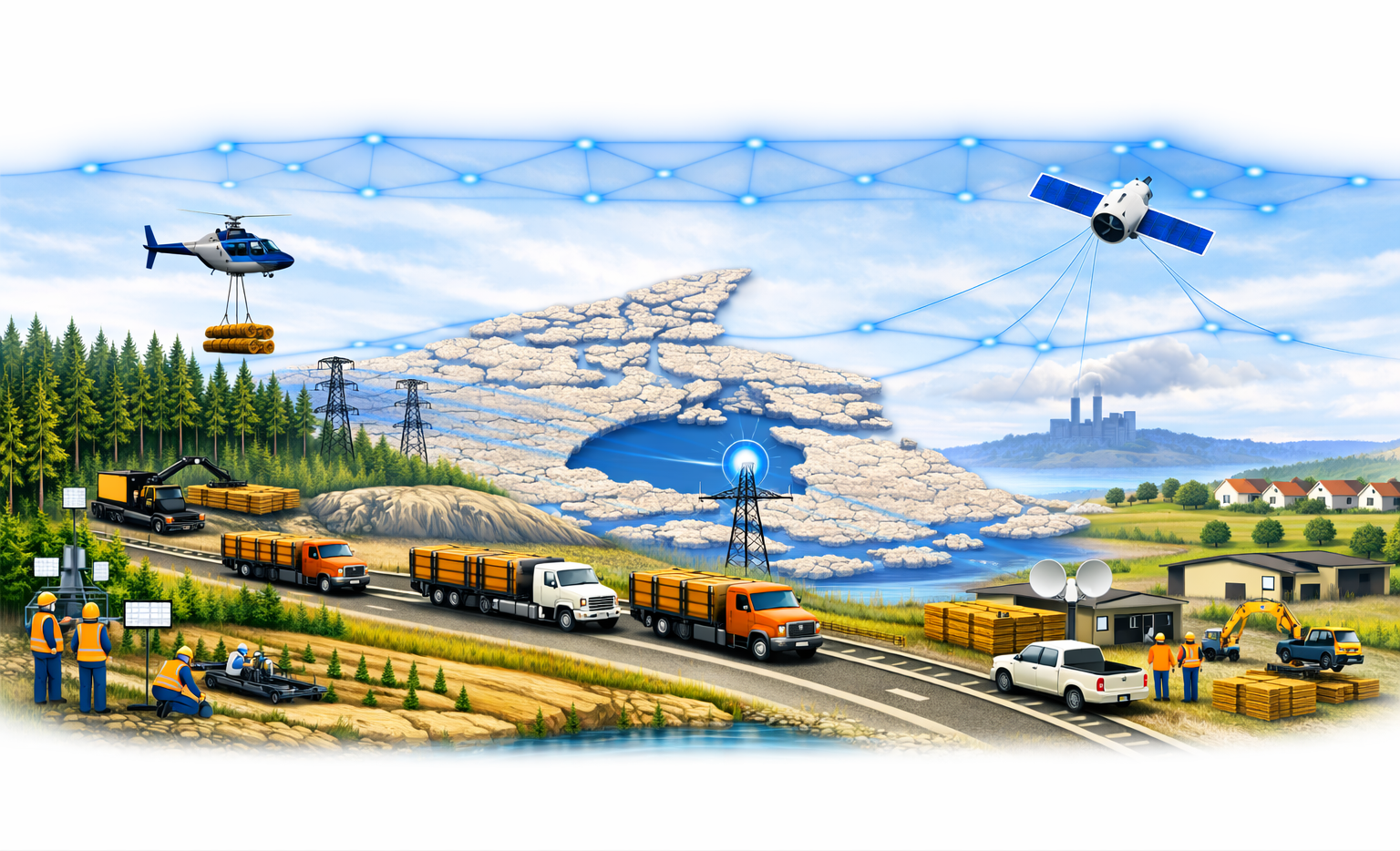
Infrastructure Risk & Landscape Resilience
Managing Risk in Linear Assets
Utility corridors • Biomass modeling • Fragmentation • Growth forecasting • Resilience TGIS • Vegetation Encroachment • Risk Mitigation.
We help utilities and infrastructure operators understand vegetation risk, biomass dynamics, and landscape fragmentation. Our work supports safer corridors, greener operations, and long‑term resilience across complex environments.
- Predictive Biomass Modeling: A LiDAR‑image fusion engine automating biomass assessment and guiding ecologically sound management. Read the story →
- Infrastructure Impact: LiDAR‑based analysis of natural vs. human‑made openings to forecast regrowth and manage fragmentation.
- Growth Forecasting: Predictive models that anticipate vegetation change and biomass shifts along critical infrastructure.
Operational Efficiency & Tactical Development
Practical Tools for the Forest Floor
Cost‑effective monitoring • Compliance • Waste assessment • Regeneration • Productivity • Rapid Reporting • ArcGIS-Python Automation.
We bring technical clarity to the forest floor through low-cost, implementable tools and workflows that simplify complex reporting and ensure compliance with minimal user input.
- Tactical Low Cost UAV Deployment: A comprehensive affordable drone framework and RGB workflows for log piles and seedling survival. Read the story →
- FPResidue: RPAS‑based system quantifying dispersed fibre, merchantable residue, and piled waste — reducing survey costs by 70%.
- FPSilvi (Regeneration Assessment): AI‑driven regeneration monitoring reducing ground survey costs by 60%.
- SBW Salvage & Post‑Disturbance: Rapid assessments guiding salvage decisions and long‑term recovery planning.
Sensor Fusion, Platforms & Advanced Modeling
Advanced Math for Field-Ready Intelligence
Sensor selection • UAV workflows • LiDAR benchmarking • Low‑cost solutions • Seasonal intelligence.
We design sensing strategies that balance cost, capability, and operational constraints. From UAV‑LiDAR to multispectral and RGB workflows, we build systems that deliver reliable, field‑ready intelligence.
- Regression of Misaligned Covariates (RMC): Custom mathematical frameworks for solving the "impossible" data problems between disjointed datasets. Read the story →
- Benchmarking UAV‑LiDAR Systems: Comparative study of high‑end vs. mid‑range sensors across foliage conditions for system interoperability.
- Seasonal Intelligence: Quantified the impact of "leaf-on vs. leaf-off" conditions to help companies schedule flights for maximum data accuracy.